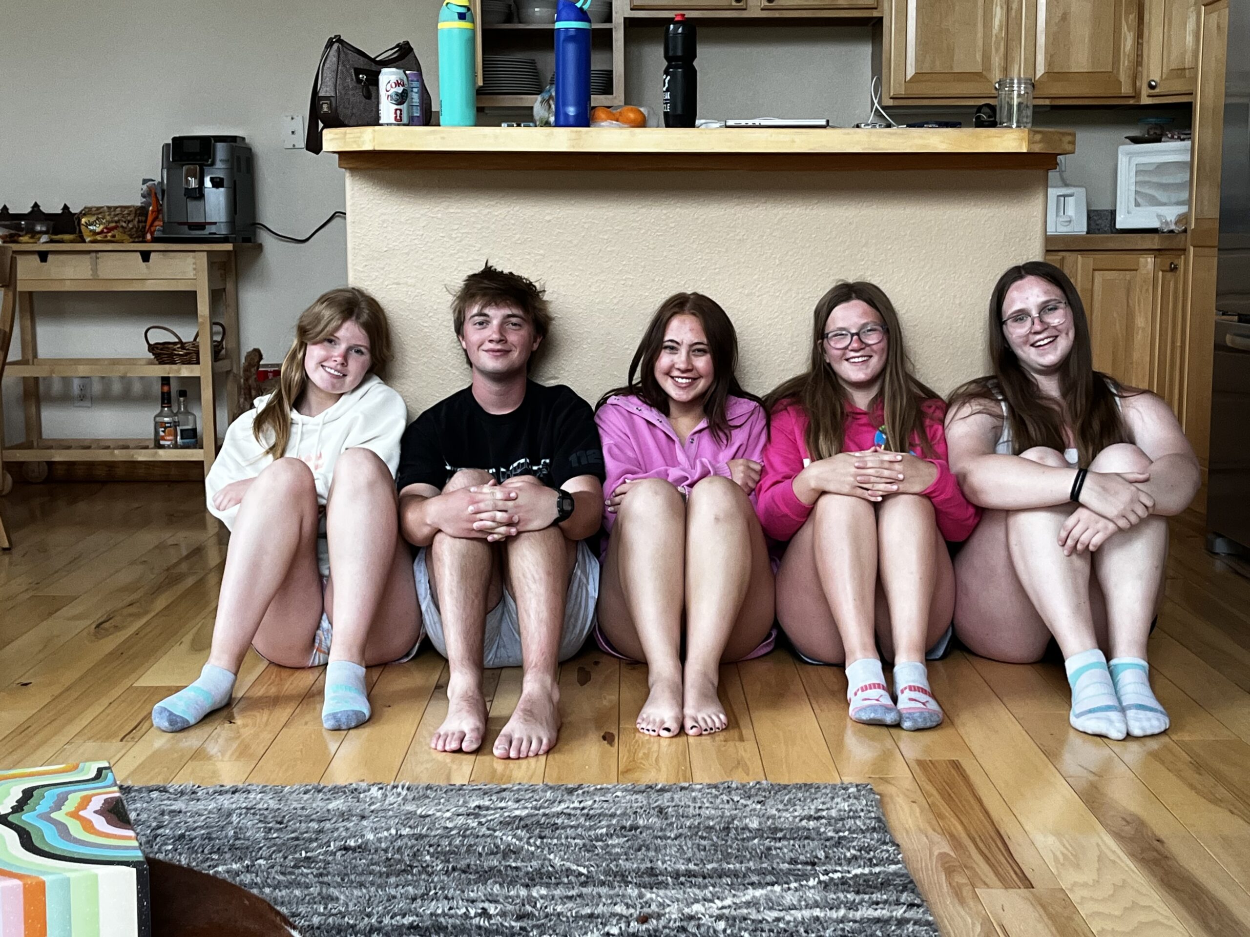
Anna with her good friends on Ice Girls
Last weekend was the final cheerleading competition of the season. It is always a bittersweet time, but this year was a little more bitter than sweet. But before we get to that, Anna was asked to fill in at the last minute for another team called Hail. This involved having to take a red-eye because she had practice in Denver on Wednesday at 5:30pm and then a practice with Hail at 9am in Orlando.
So, Jude drove Anna to the airport (I was in NYC) on Wednesday night and then Marcy flew out on Thursday to catch the flight that Anna was originally booked on. It worked out well for Anna because others on her team were also catching the red-eye.
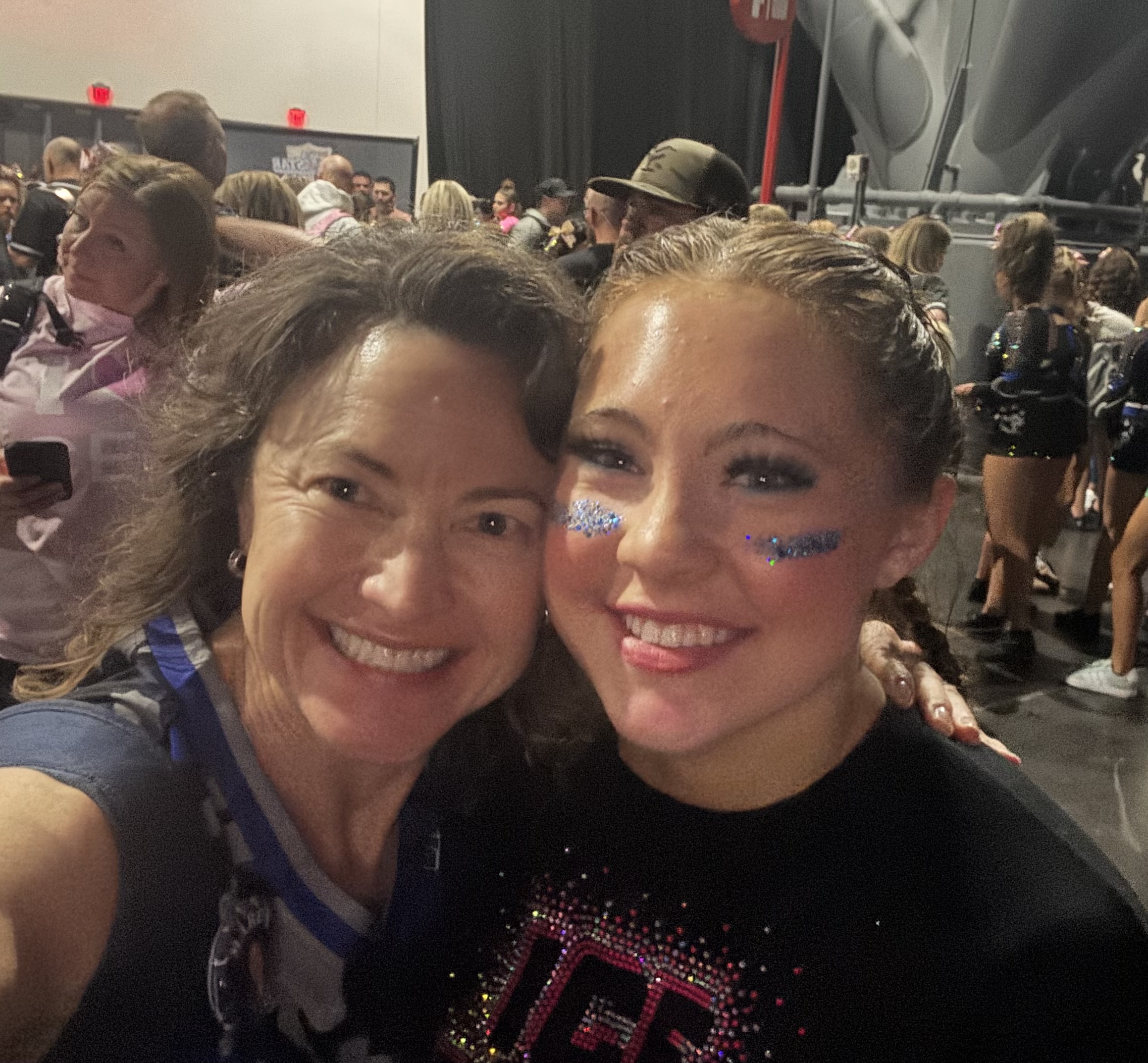
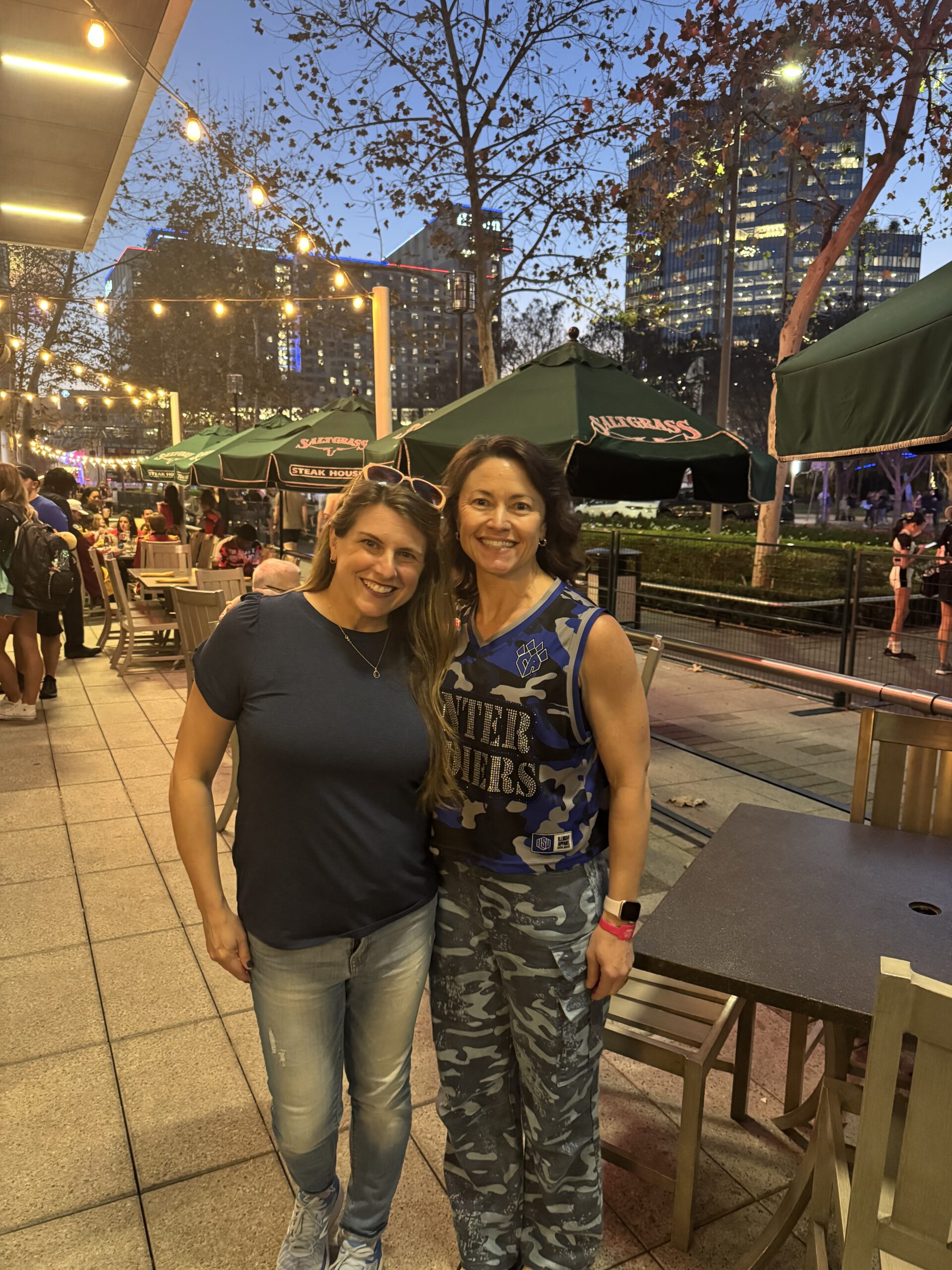
Anna competed with Hail on Thursday and Friday, and the team came in 4th, a solid finish. Then Anna’s regular team, Winter Soldiers, competed on Saturday. Unfortunately, this was the bitter part of the trip. They had a stunt fall, which meant they did not “hit zero”. Consequently, they did make it to the finals on Sunday.

At Disney with some of her Winter Soldiers teammates
The great thing about going to this competition is that it is in Orlando. Which means you get to go to Disney, if you don’t make it to Sunday, which is what Anna’s team did. They ended up having a great day and evening.
With her teammate Shosh watching the fireworks from a boat at Disney
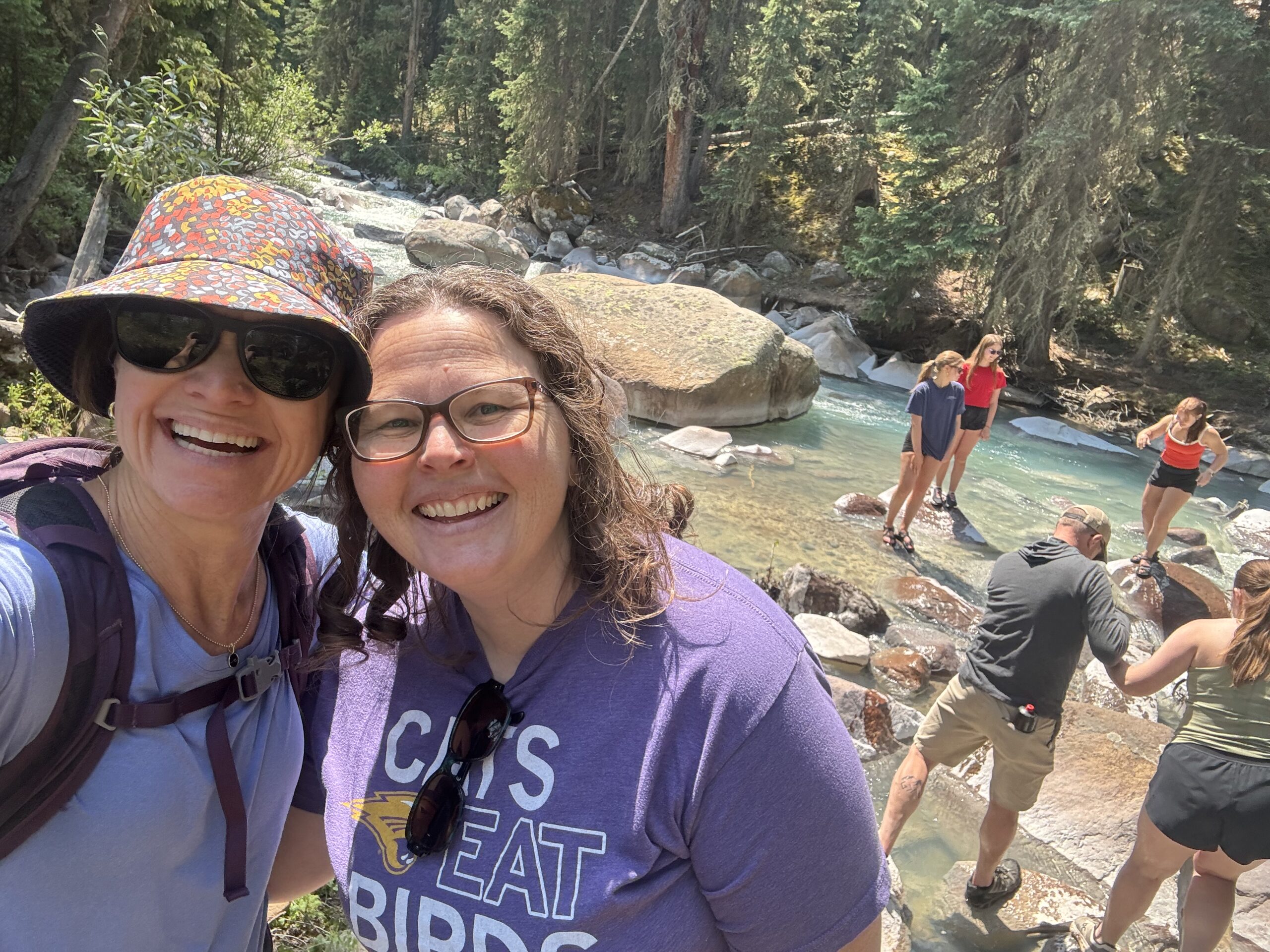
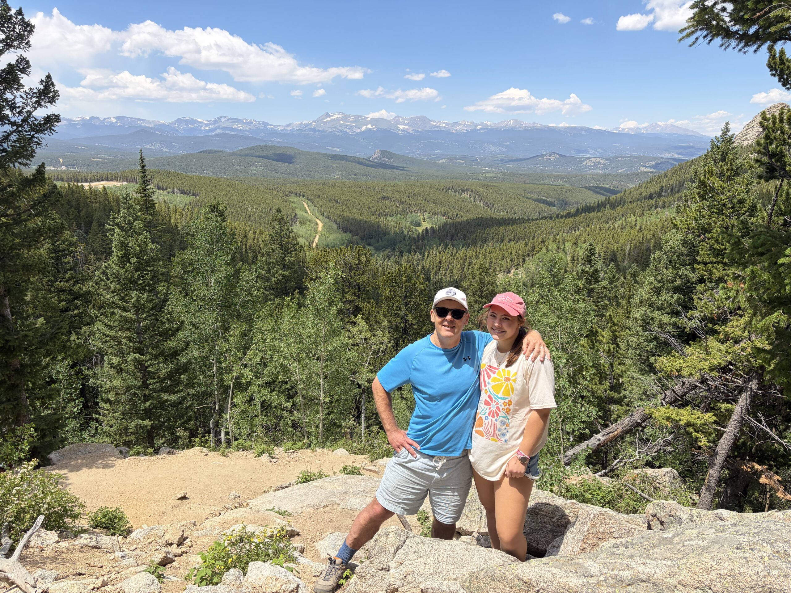
On Monday, Anna and Marcy drove to Anna Maria Island near Tampa Bay. This is a place that Anna discovered, so they rented a car and booked an Airbnb for a couple of nights. On the drive there they stopped to check out the University of Tampa. Anna thought it had potential so it is now included on the list.
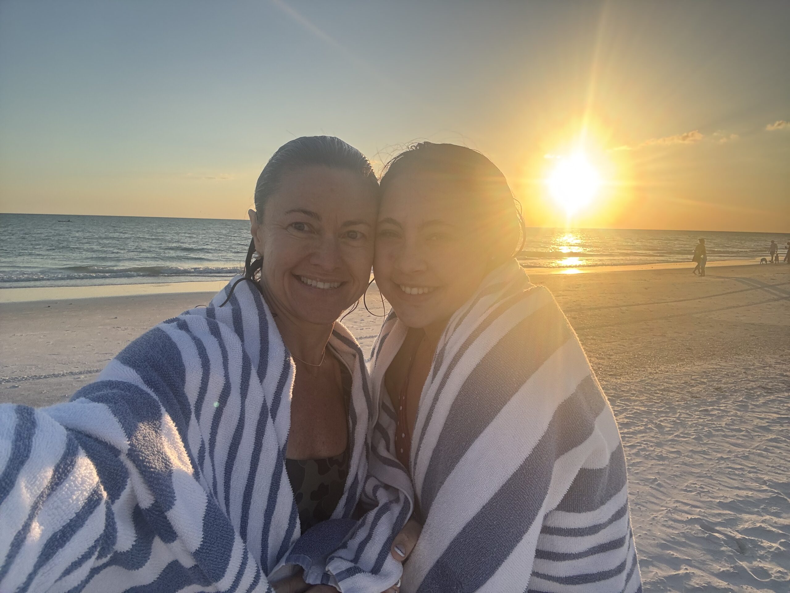
After a sunset swim at the beach on Anna Maria Island
They both loved Anna Maria Island. They were staying just a block from the beach and the entire town was tiny so everything was within walking distance. They arrived back in Denver just after a late spring snowstorm. Needless to say there were grumbles about wanting to be back on the beach.
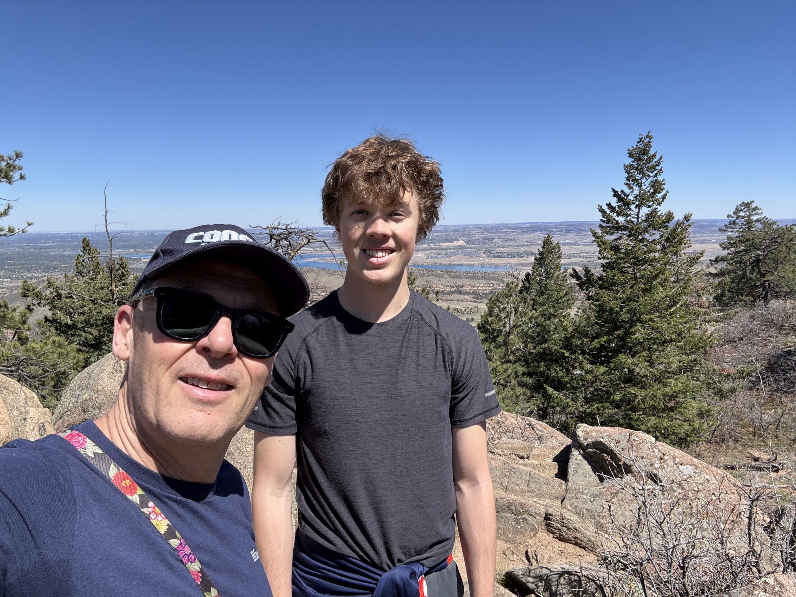
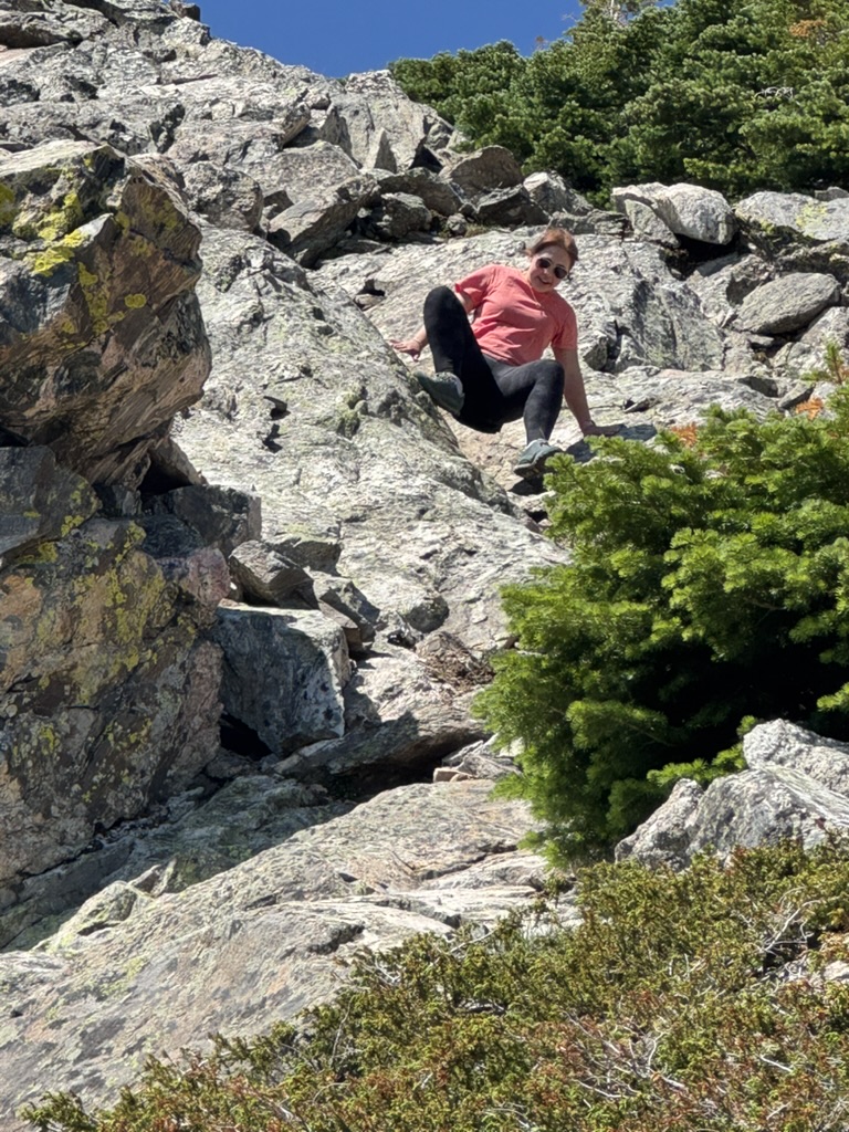
Jude and I did a hike in the foothills called Plymouth Mountain Trail
Meanwhile, Jude came home from his two weeks of work. I arrived back home just a few hours after Marcy left, so I was able to hang out with Jude for a few days. We watched a lot of soccer and one day went for a nice hike in the foothills in some gorgeous weather.
Then on Monday morning, I drove Jude back to the Halliburton office where he was getting a bus back to North Dakota for another two-week stint.
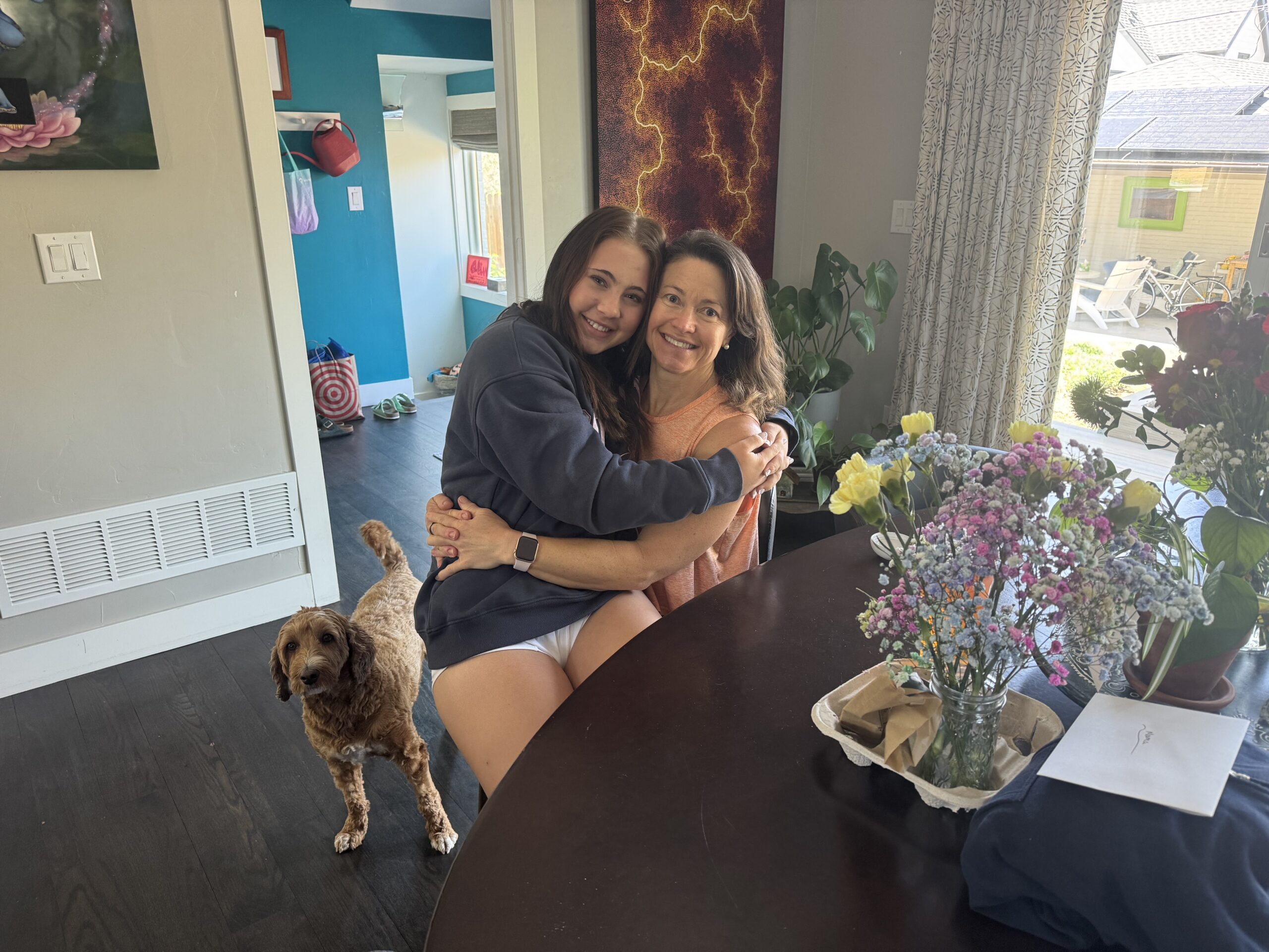
Celebrating Mother’s Day
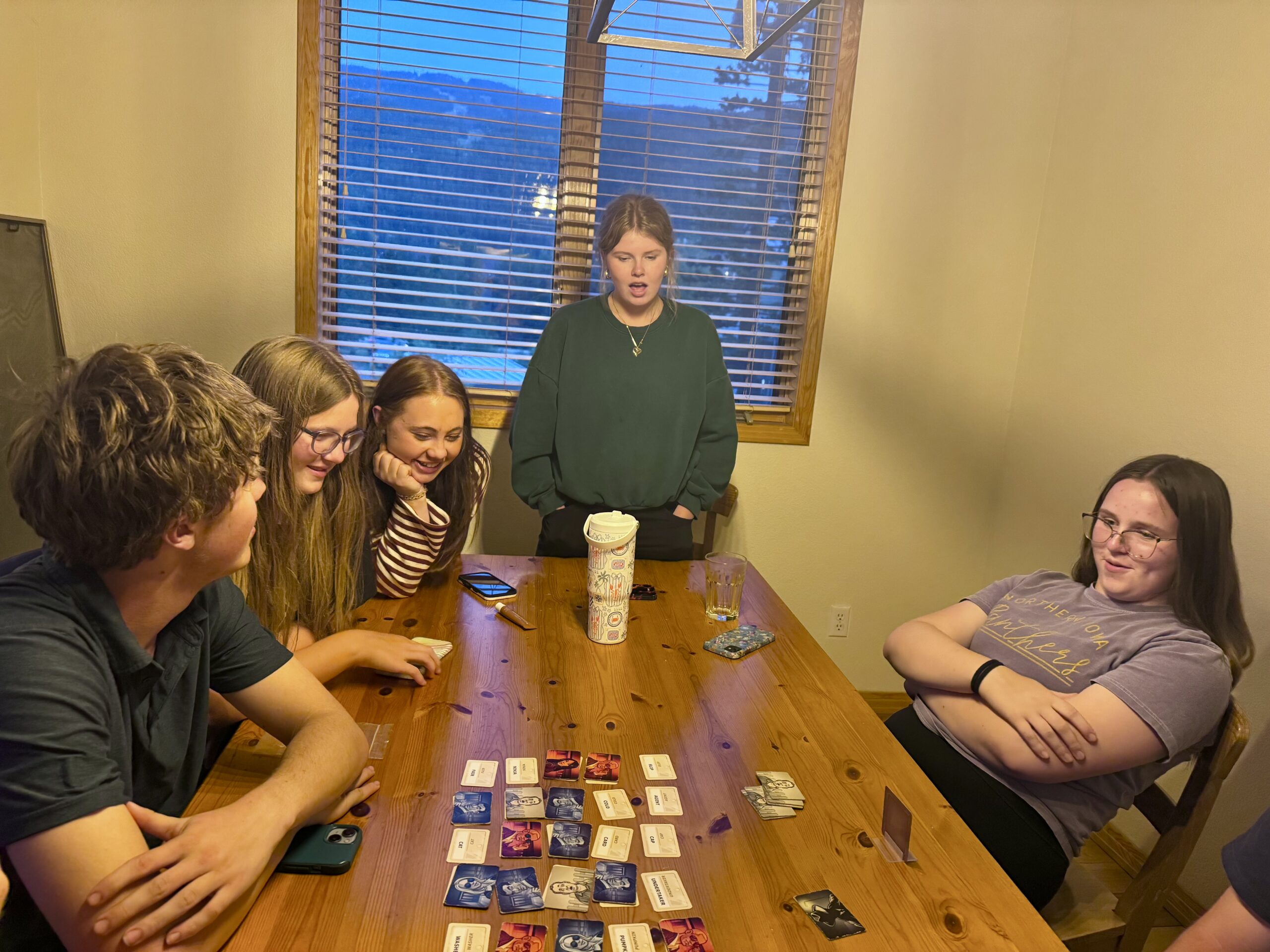
Today was Mother’s Day and so it was all about Marcy. She biked to yoga in the morning and then we worked a bit in the yard in the afternoon. Marcy and Anna did a bit of shopping in Castle Rock but Marcy didn’t want to go out anywhere to eat, so we just had a charcuterie board of meat, cheese, vegetables and hummus for dinner. And we played a new game called Wavelength.
Jude has very full days at work in the oilfields but it was great to chat with him when he called this evening. He was in good spirits and I know Marcy was so happy to talk with him.